測量機器
i-Construction
NETIS
オプティム
OPTiM Corporation
基本情報
屋内小間番号
19-01
見どころPR
Geo Scanは昨年度、TLS級の“mm精度”の3次元測量を実現。さらに今年は自動追尾TS級の“mm精度”にも対応し、構造物の位置出しや墨出しまでスマートフォンで行えるようになりました。
Geo Scanは昨年度、TLS級の“mm精度”の3次元測量を実現。さらに今年は自動追尾TS級の“mm精度”にも対応し、構造物の位置出しや墨出しまでスマートフォンで行えるようになりました。
出展製品・サービス
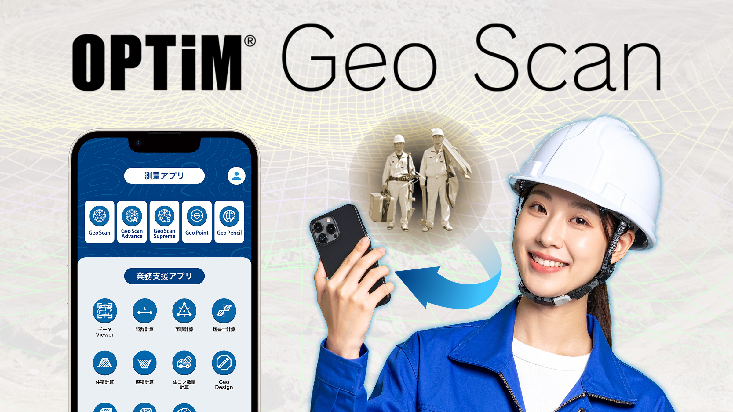
mm単位 高精度スマホ測量 OPTiM Geo Scan
mm単位 高精度スマホ測量 OPTiM Geo Scan
製品・サービス説明
Geo Scanは、調査・測量・設計から施工管理、検査対応までを誰でも1人でプロレベルで行える、mm単位の高精度スマホ測量です。
一般的にスマホ測量は「cm精度で用途が限られる」と言われますが、Geo Scanは自動追尾TSと同等のmm精度を実現。構造物の位置出しや墨出しにも対応しています。
さらに、これまでレーザースキャナーなどの高額機材が必要だった最先端の3次元ICT対応も可能になりました。
精度が測量機器と同等に達したことで、建設業界の新たな標準インフラとしてGeo Scanに置き換えが進んでいます。
今回の展示会では、ユーザーの声や実績を交えながら、その新常識をお届けします。
Geo Scanは、調査・測量・設計から施工管理、検査対応までを誰でも1人でプロレベルで行える、mm単位の高精度スマホ測量です。
一般的にスマホ測量は「cm精度で用途が限られる」と言われますが、Geo Scanは自動追尾TSと同等のmm精度を実現。構造物の位置出しや墨出しにも対応しています。
さらに、これまでレーザースキャナーなどの高額機材が必要だった最先端の3次元ICT対応も可能になりました。
精度が測量機器と同等に達したことで、建設業界の新たな標準インフラとしてGeo Scanに置き換えが進んでいます。
今回の展示会では、ユーザーの声や実績を交えながら、その新常識をお届けします。