基本情報
出展製品・サービス
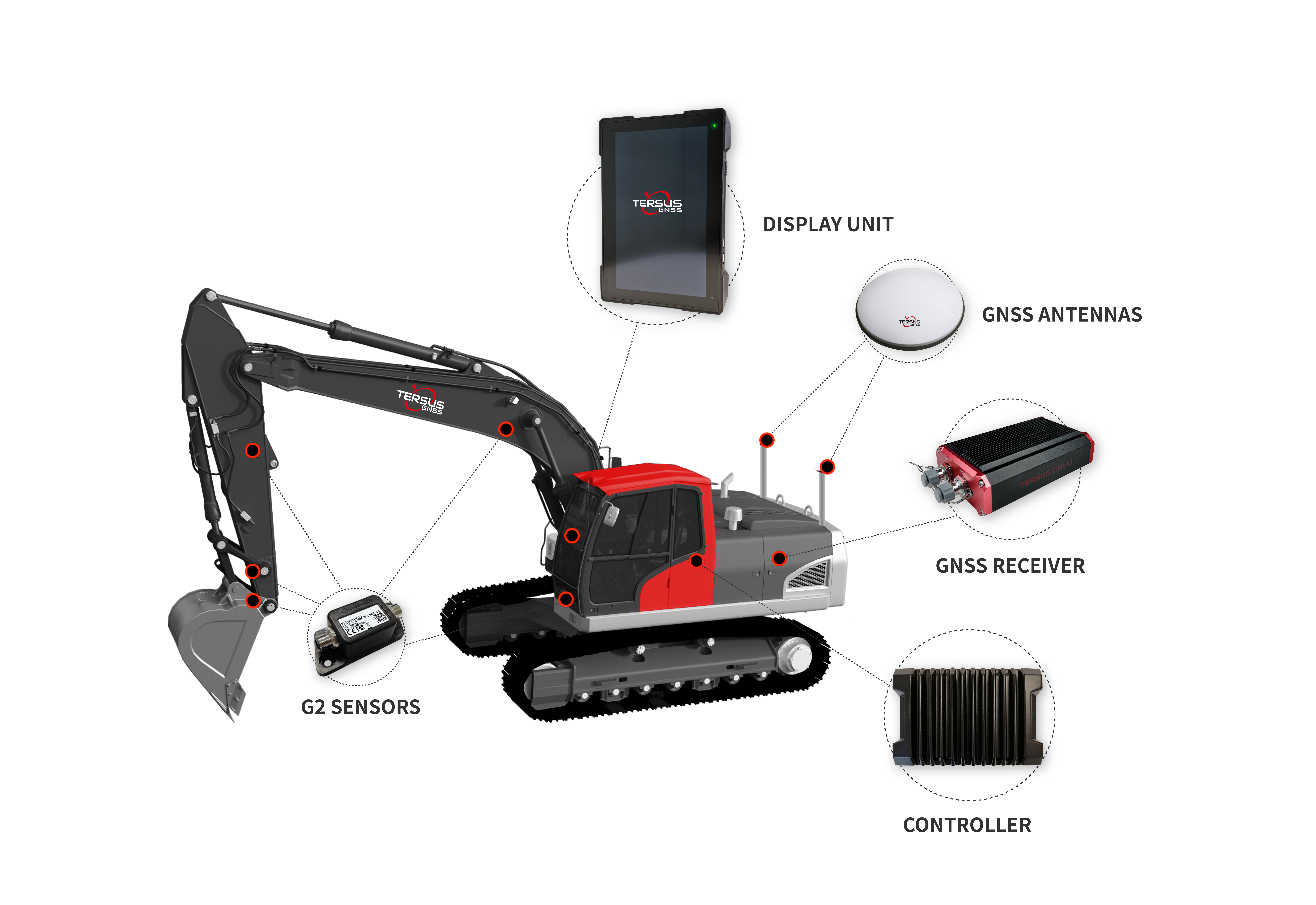
ExtremeSite 2D&3D system-Excavator
ExtremeSite 2D&3D system-Excavator
TERSUS ExtremeSite 2D&3D systems are for construction machinery, and driver assistance systems are for cars. They support and relieve the excavator operator, optimize the work process, and increase productivity and safety on the construction site.
TERSUS ExtremeSite 2D&3D systems are for construction machinery, and driver assistance systems are for cars. They support and relieve the excavator operator, optimize the work process, and increase productivity and safety on the construction site.

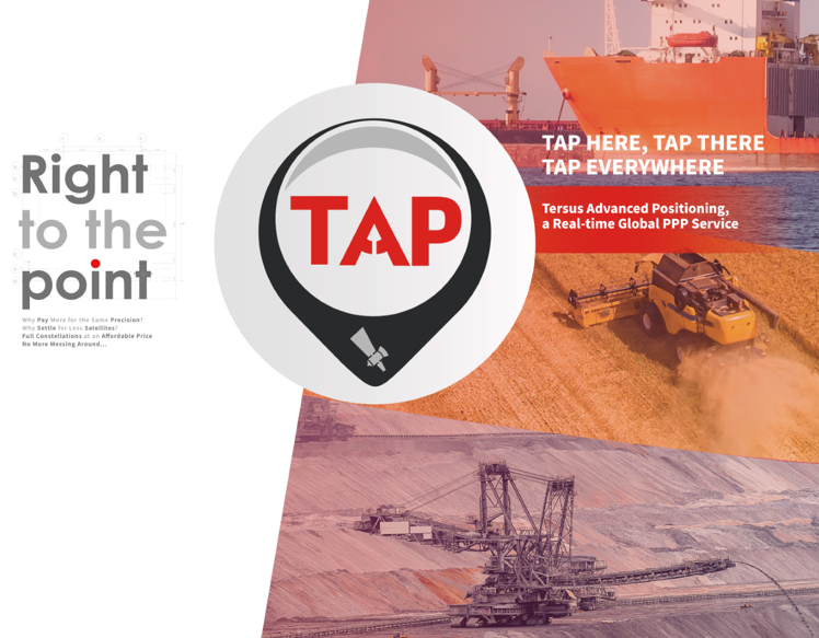
TERSUS ADVANCED POSITIONING-PPP SERVICE
TERSUS ADVANCED POSITIONING-PPP SERVICE
TERSUS ADVANCED POSITIONING-PPP SERVICE
TAP, developed by Tersus GNSS, is a satellite-based service that enables users to achieve worldwide centimeter-level high-precision positioning. With TAP, you can fulfill all your high-precision positioning needs in areas with limited or no network coverage, no base station, or distant base stations, such as oceans, deserts, mountains, high altitudes, and more.

TERSUS OEM BOARD & MODULE
TERSUS OEM BOARD & MODULE
TERSUS OEM BOARD: Tersus GNSS cost-efficient OEM boards. Raw GNSS measurements, cm-level precision. Multi-constellation support improves RTK reliability in challenging environments. Compatible with major GNSS boards. Next-gen BX-series: low power, advanced features for system integrators and diverse applications.
MODULE: Precise point positioning module by Tersus. Achieve cm-level RTK positioning with all constellations and frequencies. Integrated lMU enables accurate real-time positioning, velocity, and attitude. High performance, low power, compact size. ideal for unmanned equipment, precision agriculture, logistics, and monitoring.
